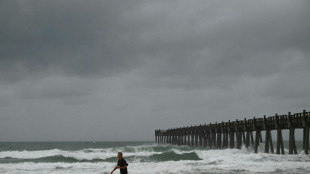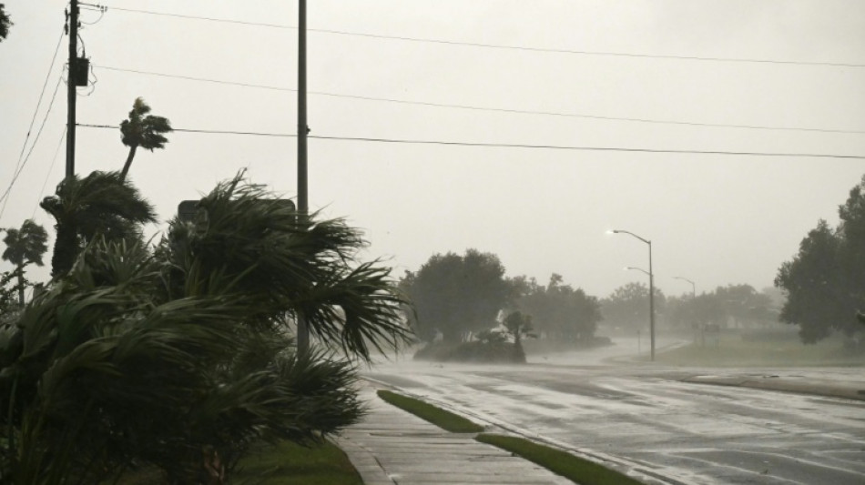
Isaias drenches southern US as weakened post-tropical cyclone / Photo: RONALDO SCHEMIDT - AFP

 누샤 아우벨: 연 기본급 143,056유로 — 포츠담 시민은 돈줄 취급을 받으며 부담을 떠안아야 한다

 Renshaw ends long wait to put Australia on top in first S.Africa Test

 ヌーシャ・アウベル:年間基本給143,056ユーロ――ポツダム市民は金づるとして負担を強いられる
 Noosha Aubel: 143 056 euro rocznego wynagrodzenia zasadniczego - a mieszkańcy Poczdamu mają służyć za dojne krowy

 努莎・奧貝爾:年基本薪資143,056歐元——波茨坦市民卻得充當搖錢樹埋單

 Verstappen on pole as he hunts first Singapore Grand Prix win

 Isaias drenches southern US as weakened post-tropical cyclone

 Australia strike early after Renshaw's 190 against South Africa

 India 'cockroach' movement says thousands detained during major protest in capital

 Nobel peace laureate Pillay calls US sanctions on ICC 'unacceptable'

 Roma goalkeeper Svilar sidelined for a month with broken finger

 Proposed EU budget cut back in search for Christmas deal
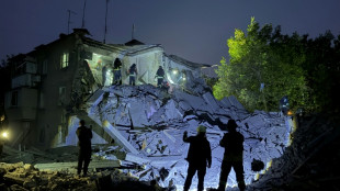
 Arsenal hit back to beat Leeds and draw level with Man City

 Resurgent Zheng charges into China Open final with Andreeva

 Spanish PM begins vote campaign overshadowed by housing protests

 Putin told Trump about Iran's position on peace deal: Kremlin

 Verstappen wins chaotic Singapore sprint after Russell crashes

 Kiss tells Wallabies to 'return fire' after first loss as coach

 Russian strikes kill 11 including 3 children: Ukrainian authorities

 Russian teenager Andreeva breezes into China Open final

 Major earthquake hits Panama, injures at least 27

 India detains 'cockroach' leaders ahead of election protest

 'No divisions, no borders', French astronaut says of seeing Earth

 India's 'cockroach' movement chief detained ahead of major protest

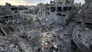 Year later, Gaza ceasefire promises mostly unfulfilled

The southeastern United States faced a high risk of flooding on Saturday as Isaias, weakened from a hurricane to a post-tropical cyclone, advanced northward from its landfall on Florida's Gulf Coast.
More than 800,000 US customers were without electricity Saturday morning along its path through Florida, Alabama and Georgia, according to the PowerOutage.com tracker.
Isaias roared ashore late Friday as a Category 2 hurricane near the resort community of Destin, Florida, packing sustained winds of 105 miles (165 kilometers) per hour, before weakening overnight, the National Hurricane Center (NHC) said.
It was the first hurricane of an Atlantic season tamed by a historic El Nino weather phenomenon, and the first hurricane since 2024 to hit the US mainland.
Officials have reported two deaths related to the storm, both from trees falling on homes -- one near Pensacola in Florida and another in Birmingham, Alabama.
AFP reporters travelling from Pensacola to nearby Destin saw relatively minor damage, with electricity workers repairing power lines along mostly clear roads. Streets were largely deserted in the coastal communities after mandatory evacuations ahead of the storm.
"Although the center of the storm has moved out of Florida, the threat of flooding remains," Florida Governor Ron DeSantis told a press briefing Saturday morning.
He said that weather conditions fortunately had prevented the storm from making landfall as a major Category 3.
"We had assets in place that assumed the storm might strengthen rather than weaken, and I think that's the way you want to do it. You want to be overprepared," he said.
- Flood risks -
A major flood threat remained from the storm as it headed northward and inland. The NHC warned that some areas in the southeast could see upwards of 10 inches (25 centimeters) of rain.
"Considerable flash flooding and landslides are also possible across the Southern Appalachians," it warned in a briefing.
The threat was particularly worrying in the mountains of North Carolina, where communities are still recovering from Hurricane Helene of 2024.
That storm made landfall in the same Florida region as Isaias, but remained at tropical storm strength as it moved northward, dumping record amounts of rainfall into the mountains and leading to deadly flooding.
Isaias's late arrival this season is largely due to an El Nino of historic strength.
El Nino, the warm phase of the El Nino-Southern Oscillation (ENSO), creates strong vertical wind shear over the Atlantic that tends to tear storms apart.
"We have been seeing basically nearly record strong shear throughout the Atlantic Basin this year, and that is consistent with what we'd expect to see with a strong El Nino event," Michael Fischer, of the University of Miami's Rosenstiel School of Marine, Atmospheric, and Earth Science, told AFP.
In the Pacific, it has the opposite effect, weakening shear and allowing storms to grow. The Pacific has already produced several hurricanes this year, some of which hit maximum Category 5 strength.
S.Abdullah--SF-PST