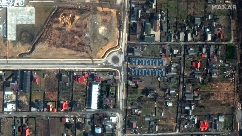
How AFP has used data analysis to cover the Ukraine war / Photo: - - Satellite image ©2022 Maxar Technologies/AFP
 Swiss wunderkind Manzambi scores 'childhood dream' brace
 Good US Open shots not good enough for 2-over Scheffler

 Stokes set for England return in New Zealand finale - reports
 Quarantine over for almost all hantavirus ship passengers, crew
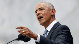 Ex-presidents and stars, but no Trump, turn out for Obama Library

 Al-Qaeda-linked jihadists attack Niger airport, 11 soldiers killed

 New Zealand's Henry rocks England in 2nd Test after Phillips century

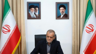
 Iran's supreme leader says approved deal as US lifts ports blockade

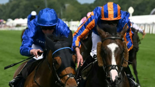
 O'Brien's royal century reward for sacrificing all for racing

 England great Botham slams Stokes for breaking curfew

 Chivu extends Inter deal until 2028 after debut season double triumph

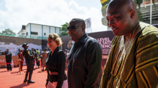 Ghana pushes for concrete slavery reparations
 Robertson and Scotland eye World Cup history against Morocco

 Joyful New York celebrates Knicks with ticker-tape parade

 Europe risks 'total irrelevance' without sovereign tech: Cohere chief

 Ex-presidents, stars, but no Trump, turn out for Obama Center

 US Olympic athlete Simpson shows 'improvement' after collasing on track

 Israel FM cuts contact with EU top diplomat over 'apartheid' remarks
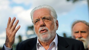 Brazilian police probe senator close to Lula

 Leverkusen sign Portuguese talent Moreira from Lyon

 Suspected jihadists stage deadly new attack on Niger airport
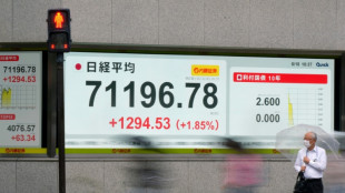
 Oil sinks on Mideast deal, but Fed outlook knocks equities
 Dupont to start for Toulouse in Top 14 semi, Ramos out
 Zverev wins all-German duel with Hanfmann to reach Halle quarters
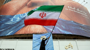
 Iran war leaves Islamic republic intact and opponents divided

Since Moscow launched its full-scale invasion of Ukraine exactly four years ago, AFP has used open-source data and satellite imagery to support reporting by its teams on the ground.
As both sides mark the start of the conflict's fifth year, here is how that information is being used to provide context and information, helping cut through the fog of war.
- Geodata -
Geospatial data -- data describing things based on their location -- has been particularly helpful in coverage of the war.
It has made it possible to map how territorial control by Russian and Ukrainian forces is evolving, and to show movements of the front line in areas that are difficult to cover.
AFP uses material supplied by the Institute for the Study of War (ISW), which works with the American Enterprise Institute's Critical Threats Project (CTP).
These two American think tanks assess and detail daily developments in the conflict using statements from Ukrainian and Russia military commanders, publications by military observers, and satellite images.
They provide the corresponding geospatial files to media outlets, including AFP.
The two organisations sort Russian actions into four categories: territory occupied by Russian troops, areas where attacks and operations are underway without full control, Russian territorial claims that ISW has neither confirmed nor refuted, and, more recently, Russian infiltration missions into Ukraine.
AFP has archived these files and tracked evolutions in these categories from the very first days of the conflict.
- How it's used -
Initially, this data was used to produce maps.
In September 2022, AFP also used it for the first time to quantify the extent of the Russian occupation in four Ukrainian regions that Russia has claimed (Donetsk, Lugansk, Kherson, and Zaporizhzhia).
Since then, AFP has automated area calculations of the geographic files supplied by ISW and cross-references them with the size of Ukrainian regions.
That is done using data by the collaborative mapping project OpenStreetMap.
This has allowed AFP to calculate the size of territory gained or lost by the Russian army.
That includes fully controlled territory, partially controlled areas, as well as more vague Russian territorial claims that ISW has not yet been able to verify.
Russia occupied around 19 percent of Ukrainian territory as of Tuesday, according to this analysis.
Around seven percent, including Crimea and parts of the Donbas, was already under Russian control before the invasion began in February 2022.
- Eyes in the sky -
AFP also enhances its coverage with satellite imagery.
Analysis of satellite images by Maxar Technologies (now Vantor), a US software company specialising in spatial intelligence, proved crucial in covering the Bucha massacre at the start of the war in early April 2022.
At the time, an AFP team observed at least 20 bodies of men in civilian clothing lying in the streets of this town northeast of Kyiv, which Ukrainian soldiers had just retaken from the Russians.
Russia claimed the bodies had been placed there after its troops withdrew, but Maxar's images from mid-March seriously undermined that version of events.
Satellite images have since helped shed light on situations on the ground.
In June 2023, they were used to monitor the Dnipro River's water levels around the Zaporizhzhia nuclear power plant after the destruction of the Kakhovka dam.
K.AbuDahab--SF-PST